Unfortunately after reviewing the ongoing situation on Monday it has been decided the reserve will have to remain closed into the new year.
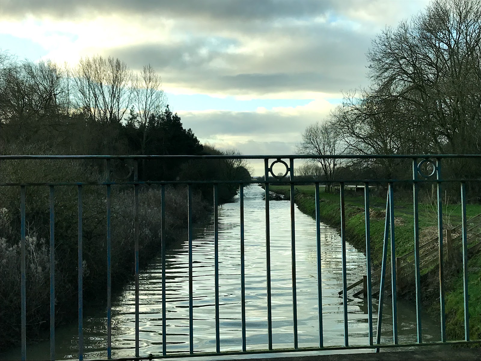
Whilst the Environment Agency flood defences at Bethell's Bridge held up during last weekends high tides and rainfall, the banks were again over-topped (inlcuding the new sand bags laid down). You can see the peak in the river on Friday 13th and it would seem anything above 3.7m overtop occurs:
with continued evidence of damage:
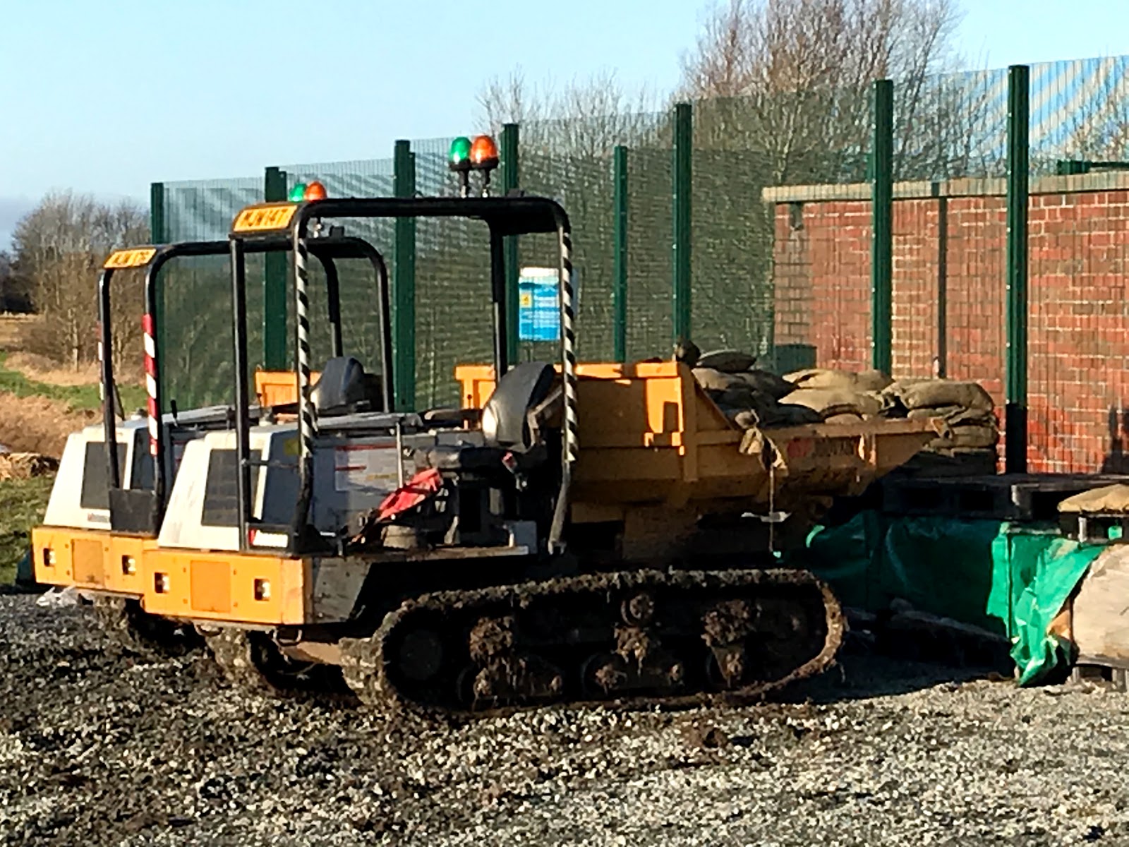
The sand bagging operation is a slow down rather than the solution - which is to drive sheet piling into the banks. The EA is fast tracking this process which should be getting underway soon. However all access will be through the reserve car park with additional compounds and work areas going up another factor.
The tides are falling now but due to peak again on the 27th - and with wet weather again in the mix on saturated ground and very high tributaries we could well be in the same scenario again before the permanent repairs are made. Due to the high river level there needs to be a delay in pumping out the Barmston Drain afterwards to allow the river to drop down again; You can see the impact of Friday 13th rain on the drain level at Wilfholme here;
So rather than try and juggle an opening of the reserve it will remain closed. If the river were to breach it seems sensible to not add reserve visitors, volunteers and staff into the mix whom aren't necessary unlike the Water Treatment Works operatives and residents. The Water Treatment works is now fully armoured with flood barriers and pumps and will stay this way for some time.
Engineers are checking the barriers every three hours and will be monitoring the reserve also for security. Please do not attempt to visit. The car park is locked as are all bird hides on site.
Unfortunately it also means that the photography exhibtion will be postponed also - along with the annual new year's day year listing event. 2019 has been a memorable year in many ways and perhaps the highlight for me has been the reserve's return to form for wading birds with the glossy ibis, spoonbills and white rumped sandpiper from the new Izzard hide. Thanks to everyone whom has helped out over the year and here's to a drier 2020...
An update on the flood risk issues which have temporarily closed the reserve;
If you have been in East Yorkshire this autumn you’ll have perhaps noticed the rain – after 18 months of very little rainfall we have had 170% of average rainfall according to the met office (or 9” of rain in Beverley in November according to resident meteorologist Mike Fishwick).
We
have been in similar scenarios before such as back in 2012 as per the Tophill
blog then . So the river Hull
brimming is not un-precedented (John Barnard):
The river levels height shows
that the river reached within 60mm of its all-time record:
The
difference in these scenarios is the level dropped back again within a few days
and the pressure receded. However, this
year the level has been high for so many weeks. This was filmed this back in November and it has been at this
level consistently for a month:
(It should be noted that the EA is currently requesting
no walking on the banks). Whilst the
levels on surrounding farmland and in the Barmston Drain have fallen this is
because it is mechanically pumped into the river by the EA and the main channel
height has not fallen. High tides at the
end of last week have caused further over-topping compromising the structure of
the flood defences north of the reserve:
The last time the river breached was in 1953; here is the
post being delivered to neighboring Standingholme Farm:
You may be familiar with our river level board on red
route – this shows the water level of the adjacent river Hull compared to the
reserve:
It does not take too much
imagination to consider the impacts if the river escapes so all efforts are
being put in by the Environment Agency at present to sure up the defences; set
in the context we still have most of winter to go.
It is easy to walk in this landscape and take it for
granted as just ‘flat land’ – but in its natural form the river Hull valley was
a vast wetland until the 1800’s. Much
of it is at or below sea level and ‘Top hill’ was effectively an island
surrounded by marshes and carr land:
And is still echoed in November's flood alert:
This was the realm of local folk legend ‘old stinker’ and
why we keep him alive at Tophill Low to illustrate this past landscape:
It also exists in local place names ‘Beverley, Cranswick,
Storkhill’ etc. To read more this link takes you to June Sheppard’s history of drainage in the Hull Valley. Maggie Smith from Tophill is currently
working on the Tophill Low book we hope for release in mid-2020 which will
explain more again. Additional good
reads are Ian Rotherham’s ‘Yorkshire’s forgotten Fenlands’ and ‘Becks banks drains and Brains – the drainage history of
the river Hull.’
In the here and now the landscape is very artificial and has been of great debate since 2007.
Many local farmers are taking a proactive approach to continued flood
risk with farming interests, flood management and biodiversity all benefiting. The Leven Carrs scheme with
Natural England and Albanwise is a great example:
In the immediacy though we have changeable weather this
week and a spring tide on Saturday the 14th: (tide-forecast.com)
Once this has passed we hope we can re-evaluate on Monday
the 16th. However, certainly
until this point Tophill Low Nature Reserve will remain closed as at
present we can’t assure that visitors and staff can safely be notified and
leave the site if the level should suddenly rise.
The water treatment works is the main priority on site
and has been protected with 1300 metres of flood barricade and high capacity
pumps.
Unfortunately this Saturday’s planned mammal safari event
is cancelled as a result along with group visits. We very much hope that we will be OK for the
winter photography exhibiton starting on the 21st. Please hang on to your entries until the
reserve is notified open again. Thank
you to those whom have already brought them down (they are stored safe). The worst case is we may need to
postpone.
In the interim please do not attempt to visit the reserve
as the car park is closed and the engineers are currently running the
show.As you can imagine for Tophill
volunteers and visitors it is an ordeal as many of them call it home; we’ll
work to re-open as soon as deemed safe.
Tophill Low is temporarily closed due to flood risks as of the 06th December. The Environment Agency are currently undertaking repair works and we hope to be back to normal soon. More details to follow.